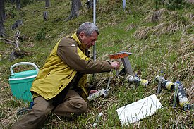
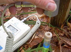
The manual collection of data in the field is almost exclusively performed with mobile data collection devices. In particular for tree parameters, the inventory software "Fieldmap" simplifies the procedure, as the trees to be assessed are clearly displayed with their specific characteristics on a map. In order to display such a map, the geographic location of all trees (and other objects such as site boundaries) must be known.
It is important to check the plausibility of the data immediately during the survey. If the plausibility criteria are not met, the data can be collected and corrected a second time. The use of tablets contributes significantly to improving the quality of the data n comparison with, for example, data collected on paper.
Samples (e.g., litter, precipitation, leaf samples) are also collected on the LWF sites. Selected properties and the chemical analyses of these samples are stored in the database.

